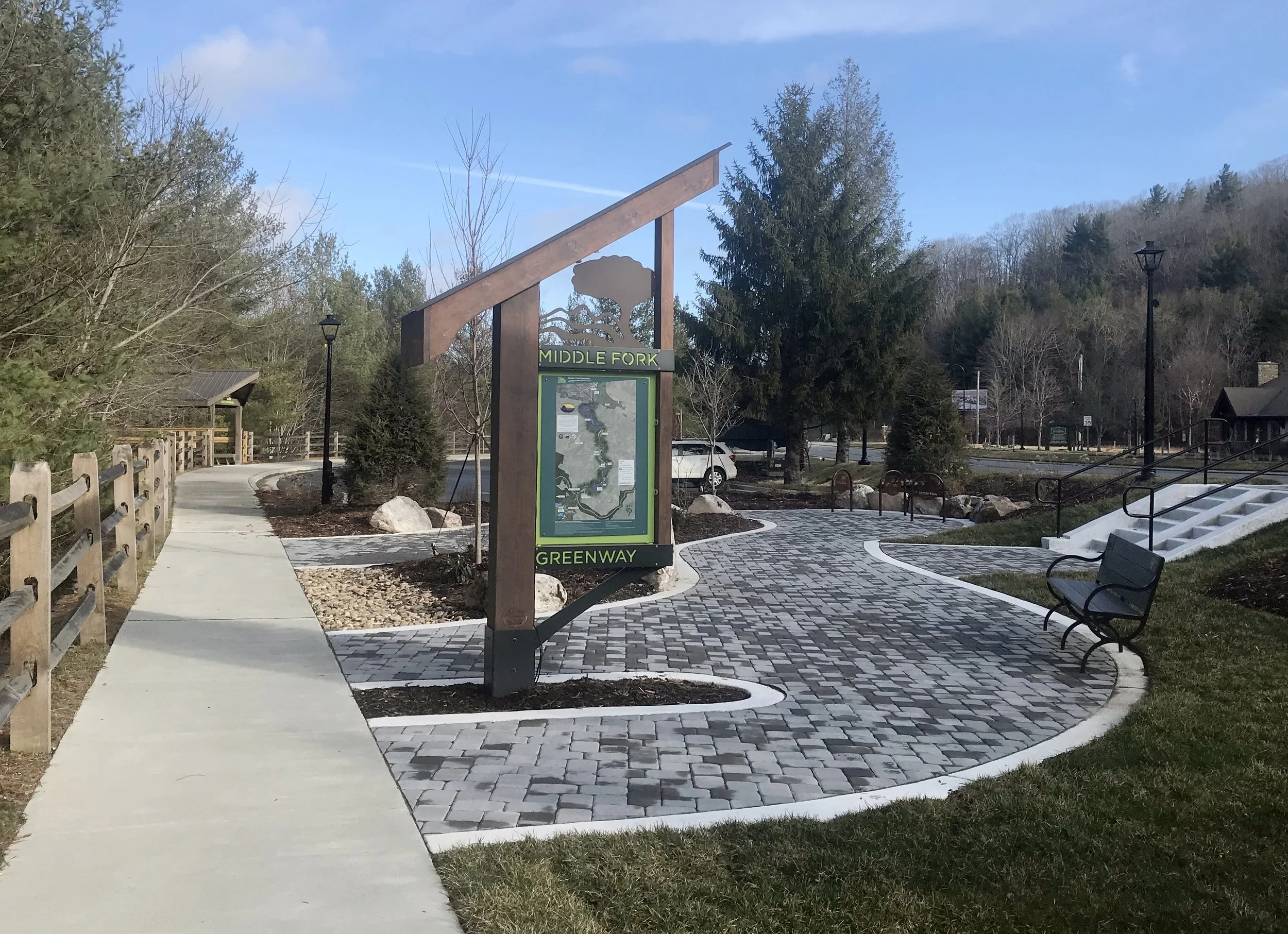
Blowing Rock Trailhead
As part of the NCDOT 321 widening project, this trailhead was developed and funded through NCDOT, NC Division of Water Resources, and private donations. It will connect to the 1.2-mile section of Greenway currently in the design, engineering, and permitting phase.
Directions to Blowing Rock Trailhead:
Traveling south on Hwy 321 towards Blowing Rock, past Tanger Outlets, trailhead is next right at “Welcome to Blowing Rock” sign.
321 Trailhead
This brand new trailhead was finished in December 2021 with funding from many state grants and private donors. The team is currently working to connect this section to the completed section at Tweetsie Railroad.
Directions to 321 Trailhead:
3703 US Hwy 321 South Blowing Rock. From Blowing Rock, travel approximately 4 miles to the right-in, right-out trailhead entrance.
Sterling Creek Park
1 Whitener Mountain Rd, Blowing Rock, NC 28605
https://maps.app.goo.gl/W2ffNMP1RJwdVTvcA
The Whitener Family donated this 3.7 acre tract between the river and the highway to Blue Ridge Conservancy, to protect and preserve its natural beauty forever for the peaceful enjoyment of the public. Come, bring your lunch, sit at a picnic table, read a book, listen to the birds in the towering trees, fish in the mossy-bouldered stream, and walk, stroll, bike through the culvert beneath the highway to Mystery Hill’s and Tweetsie Railroad’s land along the river, then turn around and amble back to Sterling Creek Park. You will have logged almost two miles on the first completed segment of the Middle Fork Greenway. Rejoice, as we do, that there are people like the Whiteners willing to share their land with others. Please help keep the park free of litter and please stay on the west side of the river only; the land on the other side of the bridge is private.
Sterling Creek Park is located between the Middle Fork Greenway and Middle Fork New River parallel to Hwy 321.
From Tanger Outlets in Blowing Rock:
Travel 2.6 miles north towards Boone; turn right onto Whitener Mountain Road diagonally across Hwy 321 from Doc's Rocks and Mystery Hill. Immediately take a sharp right turn down to the small gravel parking lot to the right that provides spaces for 4 vehicles.
From Boone:
Travel 3.5 miles south toward Blowing Rock on Highway 321. At Tweetsie, get into the middle lane. Before Mystery Hill, give a left turn signal. Just past Doc's Rocks, turn left across the highway onto Whitener Mountain Road. Immediately take a sharp right leading down to the small gravel parking lot that provides spaces for 4 vehicles.
To access Sterling Creek Park - turn onto Whitener Mountain Road and you'll see a gravel parking area on right.
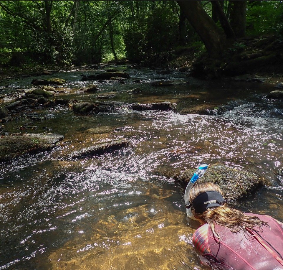
Middle Fork of the South Fork New River at Sterling Creek Park
Payne Branch Park
In 1923, Appalachian Training School, a precursor to ASU, purchased land from the Shores and Tates, at the confluence of Payne Branch and the Middle Fork, and began building a 26-foot concrete dam to harness the waters to furnish electricity to the young school. Within a few years, the South Fork Dam, as it was known, and the power station below, were lighting up the Town of Boone. The 1940 flood destroyed the dam but it was rebuilt and operated until 1972. For safety reasons, after the dam’s retirement, New River Light & Power employees dynamited it, blowing holes in it to let the water through. But the structure was so sturdy that it was only partially breached, leaving the remnants that we see today.
A Facilities Use Agreement between ASU and Watauga County enabled Middle Fork Greenway Association to create and maintain a park on the land above the dam, and on October 2, 2005 we dedicated Payne Branch Park. Today, Payne Branch Park is one of our most popular sites. People come regularly to picnic, fish, feed the ducks, and walk the length of the grassy path along the river.
Grant applications have been submitted to remove the dam completely and restore the Middle Fork South Fork of the New River to its natural state, providing riparian wetlands and a greenway trail along the way. There will be a kiosk filled with information about the rich history of the place.
Directions to Payne Branch Park:
From Boone - travel approximately one mile south toward Blowing Rock and turn right onto Payne Branch Rd. Go a couple hundred feet and you will see a couple parking spots on the RIGHT side of the road before a very large rock. Please make sure you are parked off the road.
From Tanger Outlets in Blowing Rock - travel 4.5 miles north toward Boone and turn left onto Payne Branch Rd. You will see some parking area on the RIGHT side of the road before you get a very large rock. There are picnic table and a mowed path.
Goldmine Branch Park
Goldmine Branch Park is a 1.36 acre tract with 8 parking spots that connects to the 321 trailhead. It is currently open for use.
Directions to Goldmine Branch Park:
From Boone - travel approximately 1.5 miles to Niley Cook Rd, turn left, travel approximately 0.5 mile, park is on the right.


